
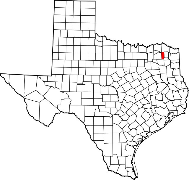
About Franklin County
Franklin County has a land area of 295 square miles; the county is long and narrow with a north/south configuration.


The Cherokee Trace runs along the eastern boundary of the county; a Caddo Indian Highway which led from the southern regions of the Caddo Confederacy (26 tribes with a common language or at least a related tongue) at Nacogdoches to the Oklahoma area northwest of Clarksville. Except for small pocket prairies and the large open prairie at Daphne, the county would have been covered in virgin forest with the north half of the county in a region known as the postoak savannah and the southern half of the county at the northermost end of the pine forests of southern Texas.
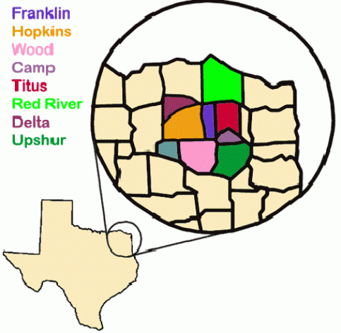
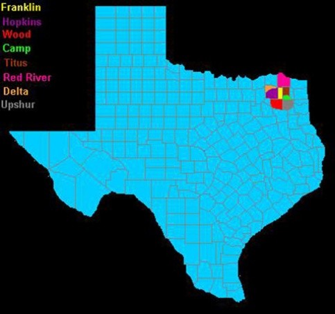
Franklin County was first a part of Red River County, one of the 16 original counties in the Republic of Texas. In 1846, Titus County was formed out of Red River, including present day Morris, Titus, Franklin and part of Camp County. In 1875, Franklin County was carved out of Titus County. Its county seat is Mount Vernon.
It is generally accepted that Franklin County was named after Benjamin C. Franklin (1805–1873), a judge and legislator. Franklin was the first man to hold a judicial position in the Republic of Texas.
Related Links
For more county information, visit the "Franklin County" entry in The Handbook of Texas Online.
For population statistics, visit the Franklin County Quick Facts page from the U.S. Census Bureau.
For historical books about Franklin County, please visit our Franklin County Titles page.
Note: An earlier version of this article can also be viewed at the Franklin County, Genealogy - TXGenWeb Project website.